The useful takeaway
Build a neighborhood shortlist from your real errands and workday, then visit the places connecting them.
The best introduction to a neighborhood may be an ordinary errand. Buying groceries, meeting someone for a quick meal, or walking to a public park reveals connections that are easy to miss when a visit begins and ends at a front door. Local businesses are part of that daily geography.
This portfolio feature with Oswaldo Freeman offers an observation guide for Salt Lake City. The editorial context comes from city and transit sources. The questions are designed for readers to use themselves, without assuming a particular neighborhood will fit every household or work schedule.
Make an errand map before a property list
Write down the places you would use in a typical week: food shopping, a pharmacy, a work destination, a meeting spot, and a public space. Use Salt Lake City’s interactive mapping tools to orient yourself, then check actual routes on the ground.
A short straight line on a map can conceal a difficult crossing or a route that feels inconvenient while carrying bags. Take the walk you would really make. If you drive, think about the entire trip, including arrival and the walk from parking, rather than the road distance alone.
Use 9th & 9th as a lesson in local rhythm
Salt Lake City’s District 5 page identifies 9th & 9th around 900 South and 900 East. Its mix of neighborhood businesses makes the intersection a useful place to observe how a commercial corner supports nearby routines.
Look beyond a single destination. Ask how a coffee stop, a shop visit, or a meal would connect to the rest of your day. Check current business hours directly with each operator. A district page describes a place; it cannot guarantee that a specific storefront or service will remain unchanged.
Let public space help you compare
Liberty Park is a city-managed public park with facilities described on its official page. Before planning around an amenity, consult that page and relevant city notices. Your own visit can help you understand entrances, paths, and the relationship between the park and surrounding streets.
Compare the experience with the type of downtime you want. Some people need a brief lunchtime walk; others want room for an unhurried weekend. Record what would make the park usable for your life, including access needs and the time required to get there.
Check the older buildings and the onward trip
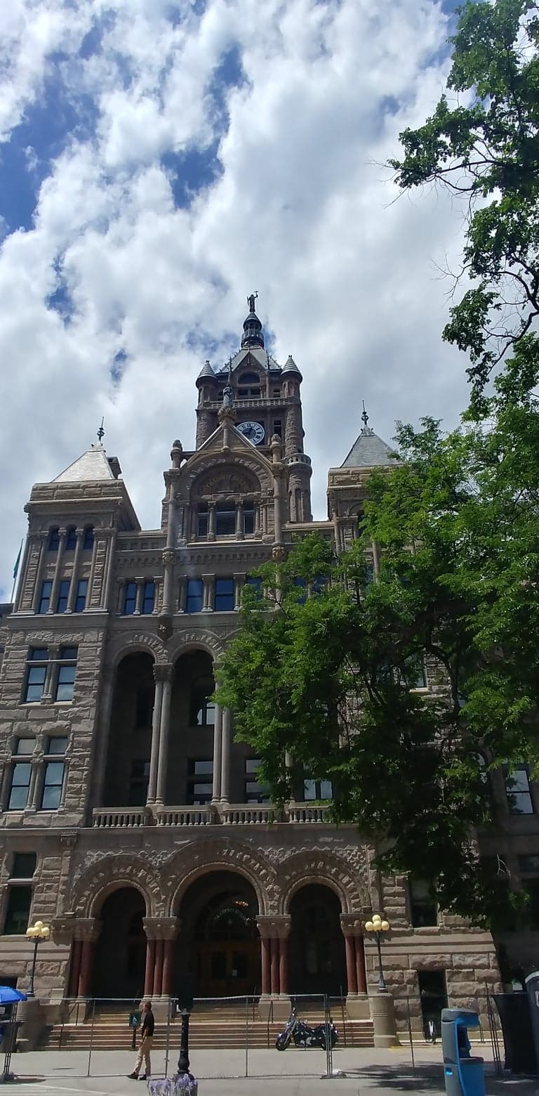
If an older home draws your attention, the city’s local historic-district pages can help establish its planning context. Confirm the specific address and ask about rules before assuming an exterior project will be straightforward. Historic character and the practical requirements of ownership belong in the same set of notes.
Then examine the commute with UTA’s current TRAX information. Look at connections and service details for your intended trip, not just whether a station exists nearby. A useful neighborhood shortlist brings these observations together: everyday businesses, public space, property context, and a work trip you have actually considered.
Take it with you
Three things to check.
- List five places you would use during a normal week.
- Visit a shortlisted block at your everyday travel time.
- Confirm property context and current transit details.
Source notes
Go straight to the source.
Official references reviewed for this guide. Access, service, closures, and rules can change; check the relevant operator or land manager before a trip.
- Salt Lake City · Interactive maps
- Salt Lake City · 9th & 9th neighborhood
- Salt Lake City · Liberty Park
- Salt Lake City · Local historic districts
- Utah Transit Authority · TRAX
Published October 16, 2026 · Beehive Biz Pulse local living issue.